
Marin County Flood Control and Water Conservation District, located in northern California, has engaged Stetson in a multi-year professional services contract to provide continued on-call hydrology, hydraulic, and engineering services in connection with design and implementation of the Ross Valley Flood and Watershed Program. Several of the projects are highlighted here.
Ross Valley Flood Reduction and Creek Management Capital Improvement Plan Study
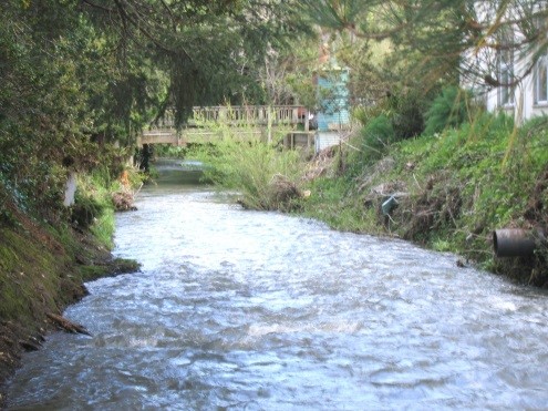 Stetson Engineers prepared the Ross Valley CIP master plan study for the County of Marin. The CIP followed a multidisciplinary approach to flood reduction and environmental restoration, drawing from hydrology, fluvial geomorphology, civil, structural, geotechnical, and coastal engineering, and biology. It employed two principal methods to contain the 1-percent-annual-chance flood: (1) increase the conveyance capacity of the channel; and (2) reduce the peak discharge by attenuating flood flows in large detention basins. Stetson developed a HEC-HMS watershed hydrologic model to simulate flow hydrographs and evaluate peak discharge attenuation benefits by detention basins. Stetson also developed a HEC-RAS in-channel model of the creek hydraulics to simultaneously analyze, design, and test the effectiveness of concepts that increase channel capacity. A MIKE FLOOD model (which integrates 1-D MIKE 11 in-channel model and 2-D MIKE 21 floodplain model) was used to simulate overbank flow hydraulics and conduct floodplain mapping. Fluvial geomorphic reasoning was applied during this “design-modeling” procedure to arrive at in-channel measures that are geomorphically sustainable in the creek environment. The detailed and optimized suite of measures work in concert with detention basins and the pending Army Corps Unit 4 project to bring 100-year level of flood protection to all Ross Valley communities. The CIP also considered multiple flood bypass alternatives, benefits of sediment source site reduction in upper watershed areas, and relative or additional benefits and cost-effectiveness of low impact development retrofits. Stetson made presentations at town hearings and community meetings to describe the CIP to town councils and the public. Please see www.rossvalleywatershed.org for more information.