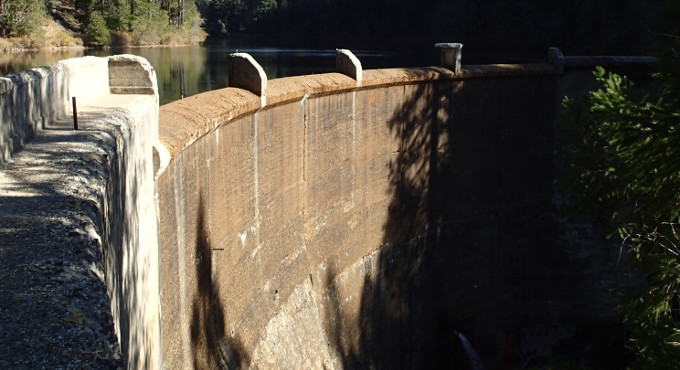
Stetson provides inundation mapping and Emergency Action Plan (EAP) preparation services to dam owners. On June 27, 2017, significant legislative changes related to dam safety were adopted by California through the passing of Senate Bill 92 (SB 92). SB 92 brings inundation maps under jurisdiction of the Department of Water Resources (DWR), Division of Safety of Dams (DSOD). Dam owners of dams classified in hazard classifications of significant, high, and extremely high, are now required to submit inundation maps for DSOD approval, and to prepare an EAP for approval by the California Office of Emergency Services (Cal OES). SB 92 requires EAPs and inundation maps to be updated no less frequently than 10 years or when significant changes occur at the dam or downstream. For dams meeting the “extremely high” hazard classification, an EAP must be submitted by January 1, 2018.
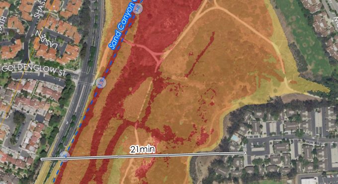
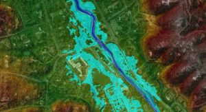
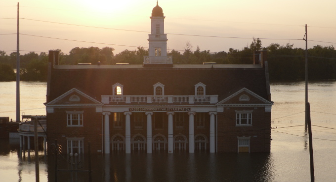
The primary purpose of an inundation map is to show the areas that would be flooded and travel times for wave front and flood peaks at critical locations if a dam failure occurs or if there are operational releases during flooding conditions. Inundation maps are a necessary component of the EAP and are used both by the dam owner and emergency management authorities to facilitate timely notification and evacuation of areas potentially affected by a dam failure or flood condition.
Stetson works with dam owners to ensure that inundation maps adhere to Federal guidelines and State regulations. The best available topographic information and HEC-RAS 1D/2D unsteady-flow hydraulic modeling is used to simulate downstream hydraulic routing and determine inundation areas. Model output is then used by Stetson’s GIS staff to create inundation maps that are consistent with FEMA P-946 Federal Guidelines for Inundation Mapping of Flood Risks Associated with Dam Incidents and Failures and applicable State regulations. Inundation maps are a necessary component of the EAP and are used both by the dam owner and emergency management authorities to facilitate timely notification and evacuation of areas potentially affected by a dam failure or flood condition.
OUR SERVICES
Since 1957, Stetson has provided innovative solutions to water resource issues.
Learn More
CONTACT US
Southern California
Jeff Symons
E JeffS@stetsonengineers.com
Northern California
James Reilly
E jamesr@stetsonengineers.com
RELATED PROJECTS
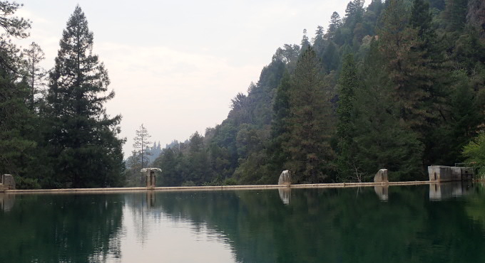
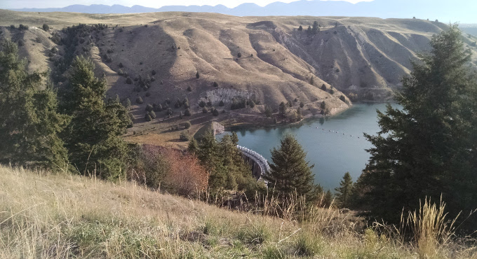
Sand Canyon Inundation Map
View Project
Marin County Flood Control and Water Conservation District
View Project
Marine Corps Base Camp Pendleton
View Project